Date: 24th May, 2014
Distance: 8.1 km
Time: 2 h 30 min
 |
| Morning views of the northern Main Range from Mt Mathieson Circuit |
Mt Mathieson Circuit is another great walk at Main Range NP with plenty of diversity. This short circuit mostly winds through open eucalyptus forests, interspersed with patches of rainforest, and provides some of the best easily accessible views in the park. A section also follows an historic timber road constructed in the 1800s, complete with interpretive signs.
My first trip to Spicer's Gap was eventful, as low-lying mist smothered the highway from Brisbane to Aratula, finally breaking up as I left the highway. I couldn't resist stopping to take a photo of Mt Greville before tackling the mountain gravel road that leads up to the park. In dry weather the road is no trouble for conventional vehicles.
 |
| Mt Greville looks impressive from every angle |
The walk starts from opposite the Pioneer picnic ground and weaves in and out of rainforest for about 20 minutes until reaching the ridge line at Mt Mathieson. The next couple of km offer exceptional views north towards Mt Cordeaux and Mt Mitchell (unfortunately covered in cloud this morning) and along the Main Range ramparts to Mt Castle.

 |
| Mt Cordeaux, shrouded in cloud |
 |
| Mt Castle and beyond |
The path itself is uneven and skirts around several large boulders, before climbing steeply past an orchid-covered rock wall to another ridge.
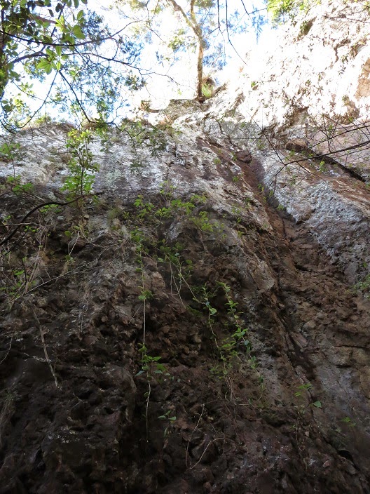
From here the walk descends through another beautiful section of rainforest. Several moss-covered stumps are evidence that the area was logged long ago.


 |
| Evidence of early logging. There are few large trees left but the rainforest is fighting back! |
Early morning sunlight filtering through the rainforest canopy also provided some interesting photo opportunities.


After leaving the rainforest, the scenery becomes dominated by grass trees and eucalypts. The track passes an old 'jinker' (cart used to transport logs) and continues another 1.1 km to the historic road. Much of the section along here must have been recently burnt off to prevent bushfires, as there was a load of blackened vegetation and it was quite pungent.
 |
| An old jinker used to haul timber |
 |
| Bush burning either side of the path |
The path meets an old logging road (an extension of the extant Spicer's Gap Road) at a T-junction, where you turn left. A series of informative signs tell a story of how the road was constructed - apparently this is the best preserved example of "sophisticated" 19th century road building left in Queensland. Normally I hate walking on roads or wide paths (I guess it's harder to forget that you're on a man-made trail) but the rainforest scenery was great and the signs told an interesting story.

 |
| Old Spicer's Gap Road |
 |
| Fungus on the road |
 |
| More fungus on the road |
After about half an hour, the road meets the end of the current (operational) Spicer's Gap Road, from where a short path leads to Governor's Seat, a rocky outcrop with amazing views east and south. Together with the northern views from Mt Mathieson, you can see most of the scenic rim over the course of the circuit.
 |
| Inspirational view from Governors Chair |
By now it was around 9:30am, so I encountered a few other people driving up to the lookout for the views. Too bad they didn't bother to walk the circuit! The last section (unfortunately) follows the road back down to the Pioneer campground, fairly hot and exposed even at this time of year and still before 10am. A very short detour halfway down the road on the right side visits Moss's well, a natural spring discovered by early loggers.
Overall this walk was pretty awesome, the only uninteresting section being the last part down the road from Governors Chair. I'm hoping to come back and tackle Spicer's Peak soon, apparently a fairly difficult climb heading south from Governors Chair.
No comments:
Post a Comment